Air-defence suppression
Coordinated interceptors, micro-missiles and early-warning penetration across scalable tactical classes.
Systems / 02
From sensing to autonomous response, every product is designed as part of an integrated operational architecture.
Flagship programme console
Switch between the four primary programmes to inspect tactical metrics, core differentiators and platform lineage.
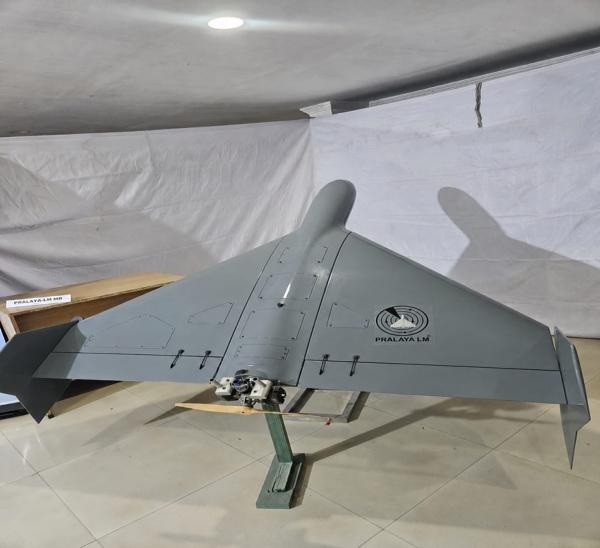
Loitering munition architecture
A common short-, medium- and long-range mission family built for search, observation, positive identification and operator-authorised terminal engagement.
Coordinated interceptors, micro-missiles and early-warning penetration across scalable tactical classes.
Onboard edge vision and optical navigation maintain mission continuity in GNSS-degraded environments.
ATR, loiter management and explicit positive commit, abort and re-engage gates preserve operator authority.
Complete portfolio
The wider portfolio connects mission vehicles, resilient navigation, geospatial intelligence, communications, simulation and operator readiness.
Domain 01
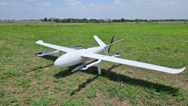
Hybrid fixed-wing VTOL for surveillance, mapping, communications relay and mission-specific sensing without runway dependence.
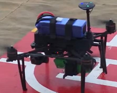
Portable multirotor with day/night observation, rugged operator control and a dual-safety payload-release architecture.
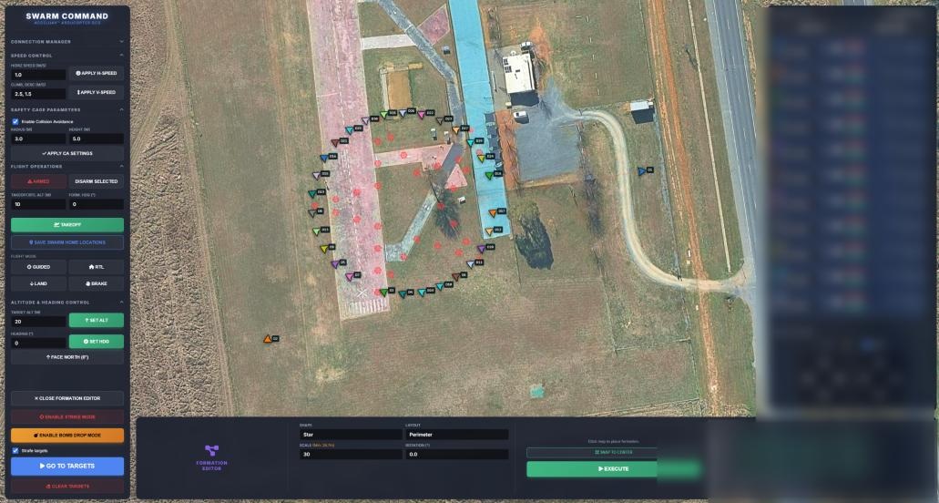
Heterogeneous aerial vehicles with centralised, decentralised or hybrid coordination for search, relay and validation missions.
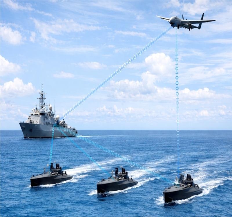
Containerised surface-vehicle fleet for coastal surveillance, harbour protection and coordinated low-signature operations.
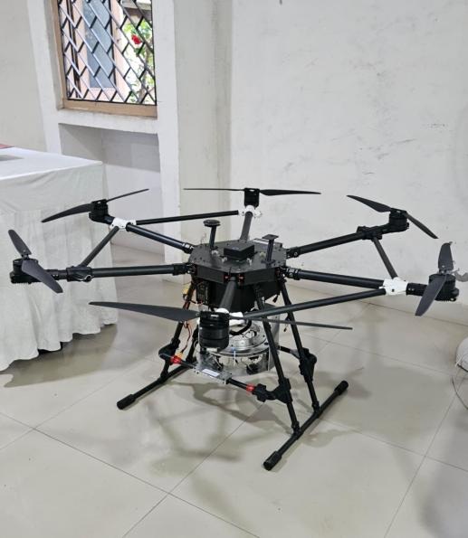
A heavy-lift airborne laboratory for sensor, communications and mission-payload integration before operational aircraft trials.
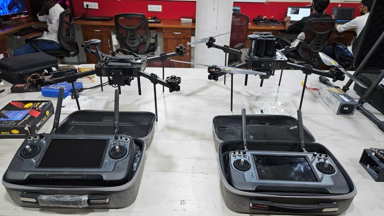
Repeatable single and swarm aerial targets for radar, EO/IR, RF and counter-UAS acquisition and engagement testing.
Domain 02
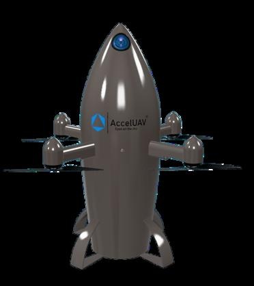
Automatic and hand-launched response for hostile FPVs, small multirotors and low-altitude threats.
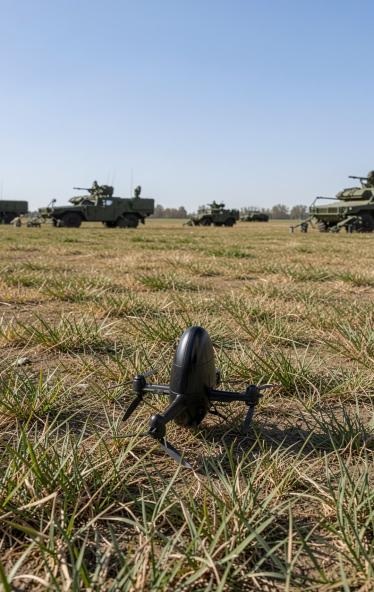
Sensor-cued automatic interception that creates decision time around bases, infrastructure and mobile formations.
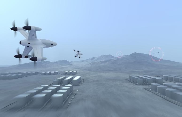
Distributed battery architecture for threats identified beyond the immediate protected perimeter.
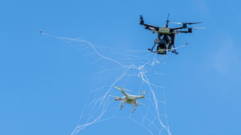
Non-explosive hand- or drone-launched capture for airports, public venues and sensitive infrastructure.
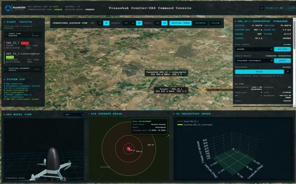
Correlates radar, RF, EO/IR and acoustic feeds, removes duplicate tracks and coordinates approved responses.
Domain 03
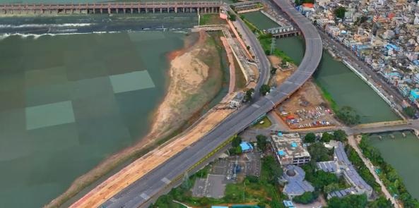
Geolocated 3D models for measurement, route planning, line-of-sight analysis, rehearsal and change detection.
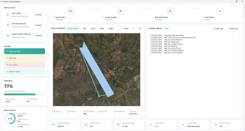
Near-real-time georeferencing and publication of orthomosaic, elevation and selected 3D outputs from UAV feeds.
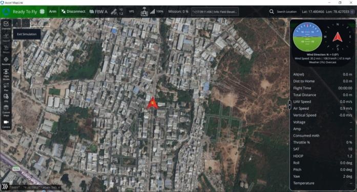
Role-based operational collaboration for raster, vector, 3D, imagery, routes, assets, tracks and alerts.
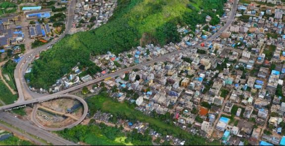
End-to-end collection, control, processing and QA for land records, infrastructure and security programmes.
Domain 04
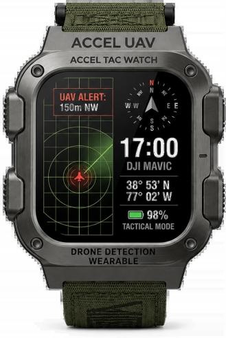
Drone-threat alerts, navigation, team status and rescue functions on a rugged connected wrist display.
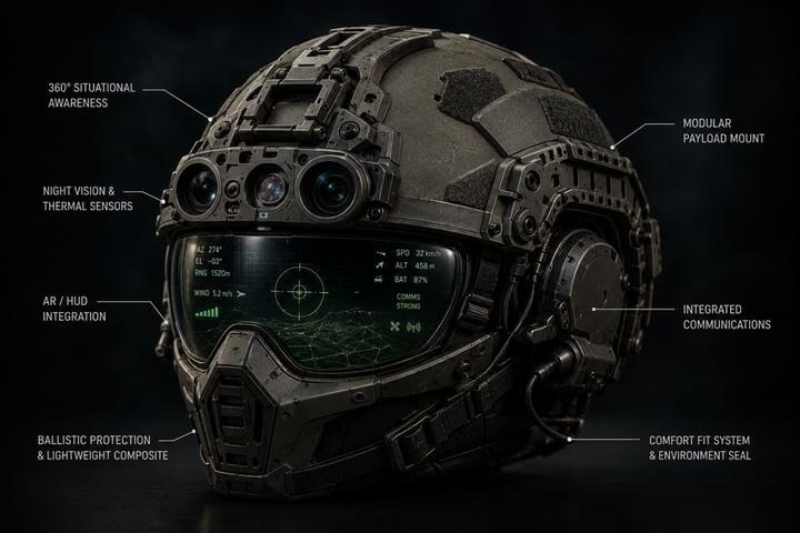
AI-enabled day/thermal sensing, augmented-reality cues and secure communications in the operator’s field of view.
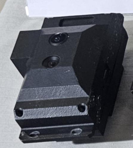
Camera- and inertial-based navigation continuity for UAV, UGV and USV platforms when GNSS becomes unreliable.
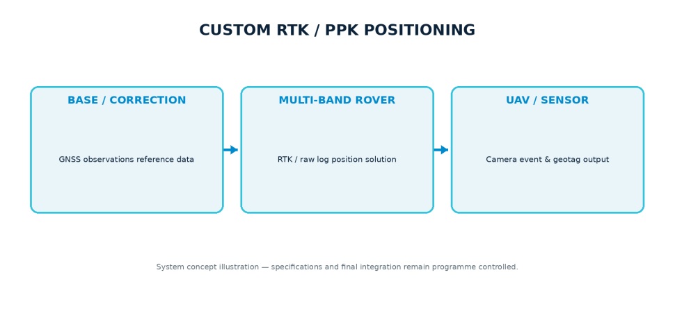
Multi-band, multi-constellation GNSS for survey, test instrumentation and autonomous navigation.
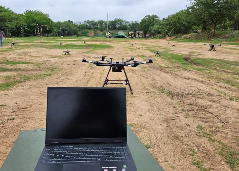
High-throughput command, vehicle health and selected payload data across a supervised fleet.
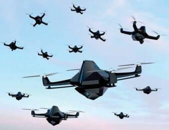
Self-forming peer network for position, intent and local coordination without a single link dependency.
Domain 05
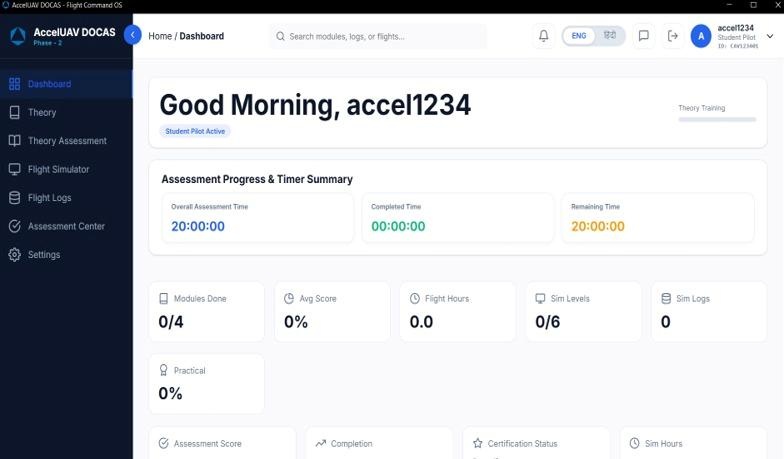
Competency-based training and assessment from enrolment through simulator performance and qualification.
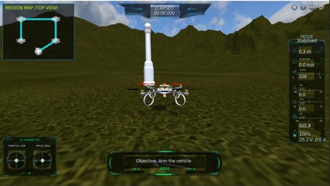
A common environment for UAV, LM, USV, CUAS, wearable and swarm familiarisation, rehearsal and engineering validation.
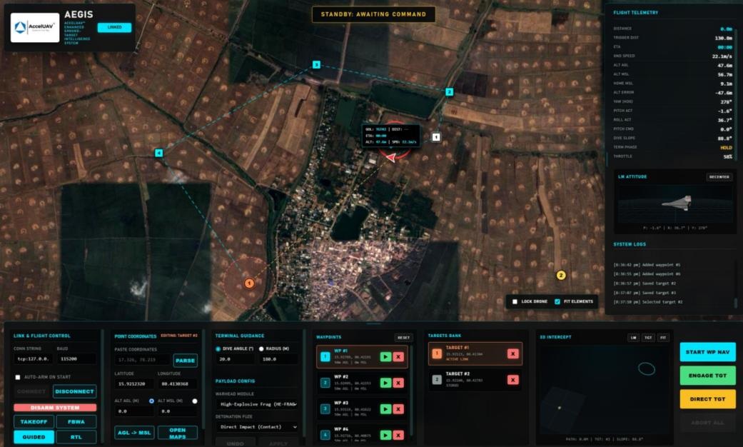
Route, loiter and target workflow with navigation health, authorisation gates, training scenarios and review.
Models formation, tasking, network degradation and reassignment across homogeneous and heterogeneous fleets.
Repeatable single and swarm threats for correlation, classification, prioritisation and response training.
System-of-systems view
Software and subsystem reuse allows a mission capability to scale without rebuilding every layer from zero.
| Capability | Primary role | Connected software | Deployment model |
|---|---|---|---|
| Pralaya | Precision observation and operator-authorised terminal mission | LM Mission Software, LM Sim, DOCUS | RATO / canister; SR, MR and LR classes |
| Vinaashak | Layered kinetic counter-UAS interception | CUAS C2, engagement software, CUAS Sim | Hand-launched, fixed, mobile or distributed battery |
| ACE-IV / ISR | Persistent intelligence, mapping and communications relay | MapLink, RLTM, VPS | Runway-independent hybrid VTOL |
| Swarms | Coordinated search, relay, validation and maritime missions | Swarm Sim, centralised and peer telemetry | Air and sea; centralised, decentralised or hybrid |
| Connected soldier | Last-mile threat awareness and team context | WARBAND and Overwatch software | Wearable, local mesh and gateway integration |